10×1 started off with the same premise as “1.1 Acre Flat Screen” – a winning bid for a real estate auction on ebay (“10 acres, high bid wins”). We were wondering: Is bigger better? Does it matter in the desert – 1 Acre or 10? Through the winning bid and its consequences and the advancement of time and technology, we were already navigating through larger images, higher bills and less legal property information.
Trusting the regenerating power of the desert, we conducted experiments with scale and proportion, position and growth. Using a similar approach as for the last piece our 10 Acre lot became a reality background and a testing base for our virtual and conceptual explorations.
Here is a timeline of how we moved forward (without advancing)
Below are some investigations, considerations and their consequences that resulted from the ownership of this lot:
Artificial Traffic Jam, 2005, single channel video, 5 min.
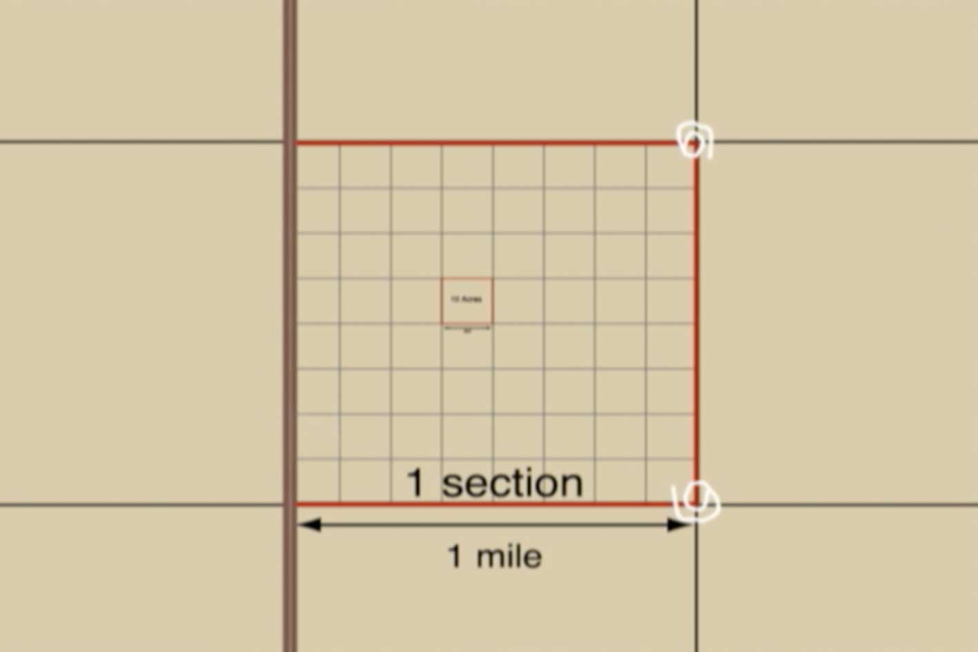
The Paradox of the 10 Acre Square, 2006, single channel video, 50 min.
International Aiport Montello, 2007, three channel video, 27min
IAM – wiki website , 2005-2010
Truth in Transit, 2008, single channel video, 50 min
Our new project:”10×1” starts off with the same premise as “1.1 Acre Flat Screen” – a winning bid for a real estate auction on ebay (“10 acres, high bid wins”). Trusting the regenerating power of the desert, we plan to conduct experiments with scale and proportion, position and growth. Through the winning bid and its consequences, we are already navigating through larger images, higher bills and less legal property information. The lot seems to be located in Northern Nevada near the Utah border, an area which was heavily used for military testing in the 60‚s. Using a similar approach as for the last piece we are taking the land as a reality background and a testing base for our virtual and conceptual explorations. |
||||||||||||||||||||||||||||||||||||||||||||||||||||||||||||||
 Welcome to Elko County, Nevada Welcome to Elko County, Nevada10.05 Acres located in Toano Range with awesome views of Pilot Peak! At 10,715 feet it can be seen from miles away. 
Elko County is located in northeastern Nevada, 295 miles east of Reno and 237 miles west of Salt Lake City. With 17,135 square miles it is one of the largest counties in the USA. The weather in Elko County is considered ideal by many. Summer finds hot, dry afternoons with temperatures in the 90s, cooling to the low 40s and 50s by morning. Winters are moderate with lows typically in the 20s or 30s. Daytime highs during the winter months are in the 40s or 50s. Snowfall averages 42 inches per year and generally melts quickly. Yearly rainfall ranges from 9 to 10.5 inches. Sunny skies are usually seen over 300 days a year! The land is mountainous and interspersed with low, flat valleys. The Humboldt River flows through the county, with the Ruby Mountains stretching across it in a north-south direction. The elevation in the valleys is about 5000 and reaches up to 11,300 feet at Ruby Dome. Click here for Montello area map. Click here for an area map. This is an older map but gives a great look at the mountains and rivers in the area. Elko County provides unlimited recreational opportunities with fishing, big game hunting (mule deer, elk, antelope and bighorn sheep), snowmobiling, ice fishing, mountain biking, hiking, camping, boating and skiing.
This is 10.05 acres located approximately 5 miles southeast of Montello and 16 miles north of Pilot Peak. Click here for a parcel map. Click here for a section map. All of the pictures were taken previously of a parcel that is about 1/4 mile east of this property so this should give you an idea of the terrain and views from the area. The section map shows there is a road leading very close if not touching the northwest corner of the property. This property is sitting at the foothills of Tecoma Valley. It has gentle rolling hills, fabulous views of Pilot Peak 16 miles to the south, and the mountains and valleys with trees filtering down into the valley to the east of the property. This area seems to be popular amongst hunters and a few times I have seen them coming out of the foothills of the mountains that are to the east of this property. Power would be by solar or generator although there is power to a few homes in the area. Water would be by well or storage tank and sewer would be by septic or holding tank. Zoning is Residential/Agricultural with no restriction allowing for homes, mobile homes, and RV’s. There are no time restrictions on building. There is also a neighbor 1 mile southeast of this property as seen in the 1st link.More pictures from this parcel : Pic1 Pic2 Pic3 |

| FEB.04 | |
| MAPPING | identifying the lot on 2D representations |
| BACKGROUND CHECK | validating the lot’s structure as reality backdrop for virtual plans |

| APRIL.04
|
||
| LOCATING | visit to authenticate physical existence | * |
| ERS | Experimental Random Seeding | ** |
| GROUND ANALYSIS |
Plain Plane Plan Research | *** |
| * In April 2004 we visited our land and got an impression of the actual location and „neighborhood”. The area is remote and empty, but filled with aerial promise of possible connections to and through the air: a deserted landing strip is 10 miles away, there is an emergency helicopter rescue phone number available ($75 for local residents), the area’s landmark is called Pilot Peak (elev.10716feet), and the former military airbase Wendover is about 1 hour away by car. |
 |
||||||||
**
(except the stone built one, all markers got destroyed within 2 days by aggressive cows who needed something to scratch on)
|
 |
||||||||
| *** main research was conducted at the former airbase in Wendover during a residency at the Center for Land Use Interpretation  www.clui.org www.clui.org |
  |
| AUG.04 |
||
| DIGGING | to prepare the foundation for a longer stay in the future means we have to deal with the road that crosses our land | |
| THE ROAD |
– is a public dirt road on private land – goes right through the middle of our lot (N >>> S) – crosses our ideas of wilderness and isolation – connects us with civilisation |
|
 |
IDEAS on HOW TO SOLVE THE ROAD PROBLEM: – camouflage the road with neighboring plants – put up “no Trespassing” signs (if road is not used sage brush can grow in furrows and road will slowly disappear) – fence in lot, put in gate, employ gate-man to collect very high toll – build overpass, so that road does not touch our ground and traffic does not disturb the isolation of the lot (“quiet zone”) |
THE WAY TO A SUCCESFUL SOLUTION:
| # 1 | # 2
EXPERIMENTS TO BUILD |
# 3
SOLUTION FOR THE ROAD |
| OCT.04 | |
| Multiple User Input | open terrain for Bodendecker – collaborations with other artists |
| Seasonal Blooming | arrangements of local and exotic plants |
 |
|
as part of the group show: ROMANTIC DETACHMENT organized & commissioned by
Grizedale Arts |
*
|
||||
|
the eteam presents: – High Noon in Nevada – The show will not only describe the surrounding events of the
|
at PS1 * Long Island City * “We will be delighted to present the chapel
|